
The Brownstone Quarry (AKA the Knowles Quarry)
2006 Photographic Tour
The following photographs are of the present-day Brownstone Quarry located on the Maxwell-Sites Road in Colusa County. The photographs were taken in the summer of 2006. At that time, the quarry was owned by Charles (Chip) Coffyn. I had spoken with Chip a couple of times on the phone about his quarries, and he shared the following information:
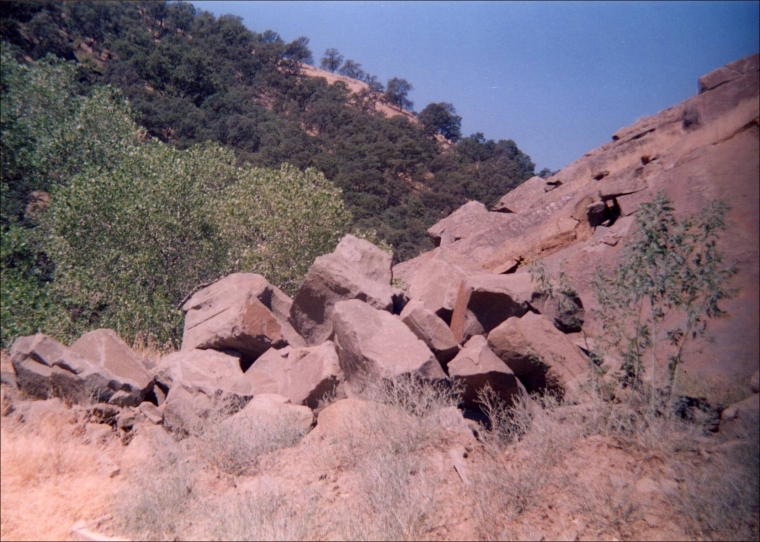
Chip mentioned that the Colusa County sandstone changes in color in the different ledges. Quarrying the bottom ledge stone is a moss green (or sage green) which tones down as the quarried stone hardens. Stone quarried from near the top portion of the quarry is a sort of brown.
Chip had agreed to write the captions for these photographs. Unfortunately, he unexpectedly died in 2007 before this photo section was completed. His death was a tragedy for all of us as he was very interested and enthusiastic about the historical quarries and had gained much information throughout his time involved in the present-day quarry industry here in California and his granite quarry in Mexico.
The Brownstone/Knowles quarry is located about one-quarter mile from the McGilvray Quarry on the opposite side of the road, which was also owned by Chip Coffyn. You can use Google Maps to view both the McGilvray and the Brownstone/Knowles quarries using the “Satellite” view, which allows you to clearly see both quarries from above. (See the Knowles Quarry entry for the Raymond/Knowles Quarry Photographic Tour.) Peggy B. Perazzo
John Morton, Colusa County historian, joined my husband Pat and me on this trip. You can read the summary that John wrote about both the McGilvray and Knowles quarries here.)
| Brownstone Quarry, Colusa County, California - Sign |
 |
Left Side of Quarry near the Maxwell-Sites Road.


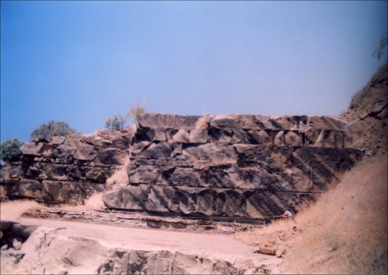
Close-ups of Left Side of Quarry near the Maxwell-Sites Road.
(The photographs below are closeups of the slanted portion of the photographs above.
They were taken at an angle to show the distinct layers of stone in the quarry.)


Commercial use of material within this site is strictly prohibited. It is not to be captured, reworked, and placed inside another web site ©. All rights reserved. Peggy B. and George (Pat) Perazzo.